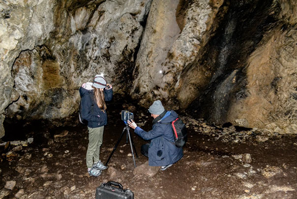
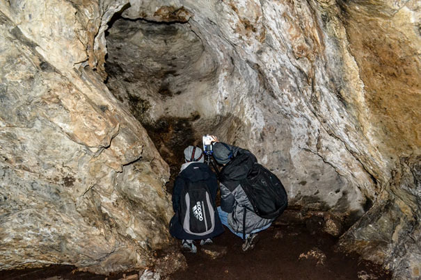
In the period 9-13.11.2017, students of the "METIRI" Scientific Association of Geodesy and Cartography in cooperation with the "EQUATOR" Geodetic Scientific Association (University of Life Sciences in Lublin) performed measurements of the "Dziura" Cave in the Tatra National Park (TNP) with the ground laser scanning technology.

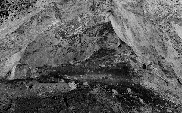
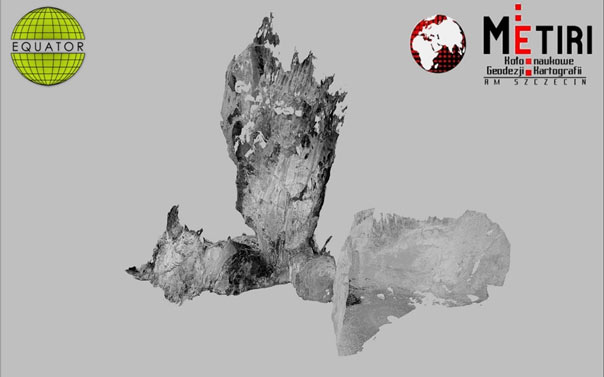
As a result of the measurement, a three-dimensional cloud of points was created, which will be transferred to the TNP and used as the cave documentation also for promotional purposes.
Click the photo to display the cloud of points in Sketchfab https://sketchfab.com/3d-models/hole-cave-jaskinia-dziura-567999126eee4ede87c7348612afc6d8
Cooperation between the two scientific centres is continuation of earlier activities, which involved students’ exchange in May and October 2017 as well as preparation of a joint presentation during the 3rd Scientific and Technical Conference in Lublin. The created model is also another element in the process of developing technologies of three-dimensional visual presentations depending on the use. It is worth mentioning that the already developed methods include e.g.: video, VR (virtual reality), Internet publication or 3D print. Currently, intensive works are in progress on a hologram in a mobile version, augmented reality (AR) and displaying of 3D maps in a completely new, innovative manner.
The effects of students’ work will be a part of the presentation during an internship at the Italian Tuscia University in Viterbo, where the students from METIRI and EQUATOR Scientific Associations were invited after delivering a presentation at the 3rd Scientific and Technical Conference in Lublin.


